WebXR in urban planning – a testbed
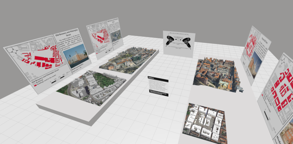
XR technology is a very promising solution when it comes to displaying 3D spatial data, especially in urban planning. It offers many advantages as a new visualization technique that give its users access to places that are not available in material space and an unique perspective on existing objects, while providing multi-sensory, immersive experience. However, standard mode of implementation that rely on mobile phone applications and VR headsets have a disadvantage when it comes to availability and accessibility. In his recently defended Master thesis Mateusz Orylski have tested WebXR solution that can mitigate those problems and provide an inclusive solution for participatory planning.
We have created six AR and VR environments that resembled common urban planning scenarios and conducted usability tests with people having planning and GIS background. We have gathered interesting feedback and we are currently preparing a paper discussing this. In the meantime you can take a look at Mateusz’s work here: https://moonshroom.github.io/Spatial_WebXR/